Specific
Climate Impacts -
To determine specific climate impacts on China from climate change I used the IPCC's Intergovernmental Panel on Climate Change entitled Climate Change 2014: Impacts, Adaptation, and Vulnerabilities Summary for Policymakers,
found at http://ipcc-wg2.gov/AR5/images/uploads/WG2AR5_SPM_FINAL.pdf
The document identified impacts, adaptation, and vulnerabilities predominantly by continent or region but with a familiarity of China's geography the predominance of impacts are physical for example flooding in some regions of China coupled with drought in others. Additionally China as the largest agricultural producer in the world can expect negative impacts on its' managed systems particularly with reduced crop yields likely as a result of climatic impacts namely and extreme heat that cause drought and increase the risk of malnourishment. Extreme heat can also result in higher mortality for under served members of the country. Likewise higher flooding due to the combination of increased rain and glacial melting on the Tibetan Plateau. Extreme flooding events can have a catastrophic effect on infrastructure near waterways. For example the below picture is one of the many flood affected areas caused by extremely heavy rains this past June. The report of more than 1 million people being negatively effected are likely only a percentage of the total numbers of people that were impacted. Additionally the flooding negatively impacted over a 100,000 ha of agricultural land.
 From:
From:
http://2.bp.blogspot.com/-delqzwKXpk/U6aKK9EvXaI/AAAAAAABizU/Lie1rJg8Q_s/s1600/china_floods02.jpg
The fear is that these types of events will increase in China if more resource conservative practices aren't adopted.
found at http://ipcc-wg2.gov/AR5/images/uploads/WG2AR5_SPM_FINAL.pdf
The document identified impacts, adaptation, and vulnerabilities predominantly by continent or region but with a familiarity of China's geography the predominance of impacts are physical for example flooding in some regions of China coupled with drought in others. Additionally China as the largest agricultural producer in the world can expect negative impacts on its' managed systems particularly with reduced crop yields likely as a result of climatic impacts namely and extreme heat that cause drought and increase the risk of malnourishment. Extreme heat can also result in higher mortality for under served members of the country. Likewise higher flooding due to the combination of increased rain and glacial melting on the Tibetan Plateau. Extreme flooding events can have a catastrophic effect on infrastructure near waterways. For example the below picture is one of the many flood affected areas caused by extremely heavy rains this past June. The report of more than 1 million people being negatively effected are likely only a percentage of the total numbers of people that were impacted. Additionally the flooding negatively impacted over a 100,000 ha of agricultural land.
http://2.bp.blogspot.com/-delqzwKXpk/U6aKK9EvXaI/AAAAAAABizU/Lie1rJg8Q_s/s1600/china_floods02.jpg
The fear is that these types of events will increase in China if more resource conservative practices aren't adopted.
Regional Climate Projections
For my discussion on regional climate projections I referenced the “Climate Change 2013 Working Group 1: The Physical Science Basis Chapter 14: Climate Phenomena and their Relevance for Future Regional Climate Change" found at the following link: http://www.climatechange2013.org/images/report/WG1AR5_Chapter14_FINAL.pdf
For my discussion on regional climate projections I referenced the “Climate Change 2013 Working Group 1: The Physical Science Basis Chapter 14: Climate Phenomena and their Relevance for Future Regional Climate Change" found at the following link: http://www.climatechange2013.org/images/report/WG1AR5_Chapter14_FINAL.pdf
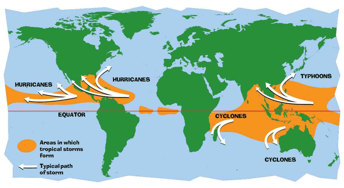
Scientists have constructed several climate models, which indicate with an average of medium confidence the following impacts that are most likely to occur if we don't or aren't able to adapt our systems to meet the current climatic changes. Most notably that precipitation will increase during the rainy summer months as a result of more moisture and warmer climate. Both maximum and minimum mean temperatures are expected to go up throughout the year in China. At the same time warming ocean waters is supposed to decrease the the intensity of monsoonal winds. Finally the change in precipitation is anticipated to be more severe in Eastern China, which is home to the majority of Chinese compared to Western China.
Detailed
Look at Future Climate
Some specific projections for China are once again based off of more specific climate change impact projections by the 2014 Climate Change documents; specifically the Executive Summary for Asia found within the Full Report for Working Group II.
From: http://ipcc-wg2.gov/AR5/images/uploads/WGIIAR5-Chap24_FINAL.pdf
For about the last hundred years temperatures in Asia have been increasing and that trend is likely to continue, for China these trends are likely to have both negative but some positive impacts. As the majority of the Chinese Population live in along the eastern seaboard at lower elevations you can the impacts of flooding and drought to worsen. The populations ability to adapt to the stresses on water resources with better water management in agriculture and daily use can reduce these negative impacts. The warming trends are more likely to have negative effects to China at the lower altitudes and lower latitudes, as temperatures rise beyond the threshold of crops namely rice. However, that same warming trend if coupled with increased rain at higher altitudes, and latitudes may increase growing degree days for other cereal crops as well. The below map denotes where and how much more or little precipitation is expected for the year 2050 diagonal hash mark indicate greater than 2/3 of studies agree with these predictions.
 From: http://img.qz.com/2013/10/rainfall_adb.png?w=876&h=704
Additionally sea levels are expected to rise world wide and ocean temperatures are expected to rise as well both as a result of the overall warming trends. Increased sea levels can encroach onto low lying areas reducing habitable spaces in China. Shanghai and Hong Kong as enormous population centers and key hubs of commerce that attract a disproportionate number of rural migrants. You might foresee that these two example cities may attract a larger population that will be displaced in the future by the rising tides.
Some specific projections for China are once again based off of more specific climate change impact projections by the 2014 Climate Change documents; specifically the Executive Summary for Asia found within the Full Report for Working Group II.
From: http://ipcc-wg2.gov/AR5/images/uploads/WGIIAR5-Chap24_FINAL.pdf
For about the last hundred years temperatures in Asia have been increasing and that trend is likely to continue, for China these trends are likely to have both negative but some positive impacts. As the majority of the Chinese Population live in along the eastern seaboard at lower elevations you can the impacts of flooding and drought to worsen. The populations ability to adapt to the stresses on water resources with better water management in agriculture and daily use can reduce these negative impacts. The warming trends are more likely to have negative effects to China at the lower altitudes and lower latitudes, as temperatures rise beyond the threshold of crops namely rice. However, that same warming trend if coupled with increased rain at higher altitudes, and latitudes may increase growing degree days for other cereal crops as well. The below map denotes where and how much more or little precipitation is expected for the year 2050 diagonal hash mark indicate greater than 2/3 of studies agree with these predictions.
Additionally sea levels are expected to rise world wide and ocean temperatures are expected to rise as well both as a result of the overall warming trends. Increased sea levels can encroach onto low lying areas reducing habitable spaces in China. Shanghai and Hong Kong as enormous population centers and key hubs of commerce that attract a disproportionate number of rural migrants. You might foresee that these two example cities may attract a larger population that will be displaced in the future by the rising tides.
Most Interesting Threat -
The potential threats to China are so numerous but as an agriculture student the one that I am most interested in would be specifically related to food production systems and food security. Using the Full Report for the Working Group II found at http://ipcc-wg2.gov/AR5/images/uploads/WGIIAR5-Chap24_FINAL.pdf section 24.4 about Observed and Projected Impacts, Vulnerabilities, and Adaptation provides several key studies that indicate a mixed bag on how major crops will be impacted in China. For example studies cited indicate that rice yields in some regions will have net yield increase with the additional CO2 fertilization compared to potential yield reductions that only take in consideration temperatures. Other studies indicate that the main wheat regions will also have increased yields due to increased temperatures at these northern latitudes. However, the overarching projection is that rice yields will be negatively effected. If you recall the map above that shows the reduction of precipitation in the southern regions of China and compare that to the map below that shows the major rice cultivating areas in the south compared to the major wheat growing areas in the north it is easier to see the correlation of potential drought plus increased temperatures creating rice yield loss. Note that both Hong Kong and Shanghai have approximately 75 and 85% of cultivated farmland under a rice crops respectively. What I see as the major vulnerability is that the population of China is predominant so much to the southeast and don't suspect that the majority of Chinese have the ability migrate to other regions. Having said that China as a temperate country has, more than its' tropical neighbors has the ability to adapt their crops to the changes of climate.

The potential threats to China are so numerous but as an agriculture student the one that I am most interested in would be specifically related to food production systems and food security. Using the Full Report for the Working Group II found at http://ipcc-wg2.gov/AR5/images/uploads/WGIIAR5-Chap24_FINAL.pdf section 24.4 about Observed and Projected Impacts, Vulnerabilities, and Adaptation provides several key studies that indicate a mixed bag on how major crops will be impacted in China. For example studies cited indicate that rice yields in some regions will have net yield increase with the additional CO2 fertilization compared to potential yield reductions that only take in consideration temperatures. Other studies indicate that the main wheat regions will also have increased yields due to increased temperatures at these northern latitudes. However, the overarching projection is that rice yields will be negatively effected. If you recall the map above that shows the reduction of precipitation in the southern regions of China and compare that to the map below that shows the major rice cultivating areas in the south compared to the major wheat growing areas in the north it is easier to see the correlation of potential drought plus increased temperatures creating rice yield loss. Note that both Hong Kong and Shanghai have approximately 75 and 85% of cultivated farmland under a rice crops respectively. What I see as the major vulnerability is that the population of China is predominant so much to the southeast and don't suspect that the majority of Chinese have the ability migrate to other regions. Having said that China as a temperate country has, more than its' tropical neighbors has the ability to adapt their crops to the changes of climate.


